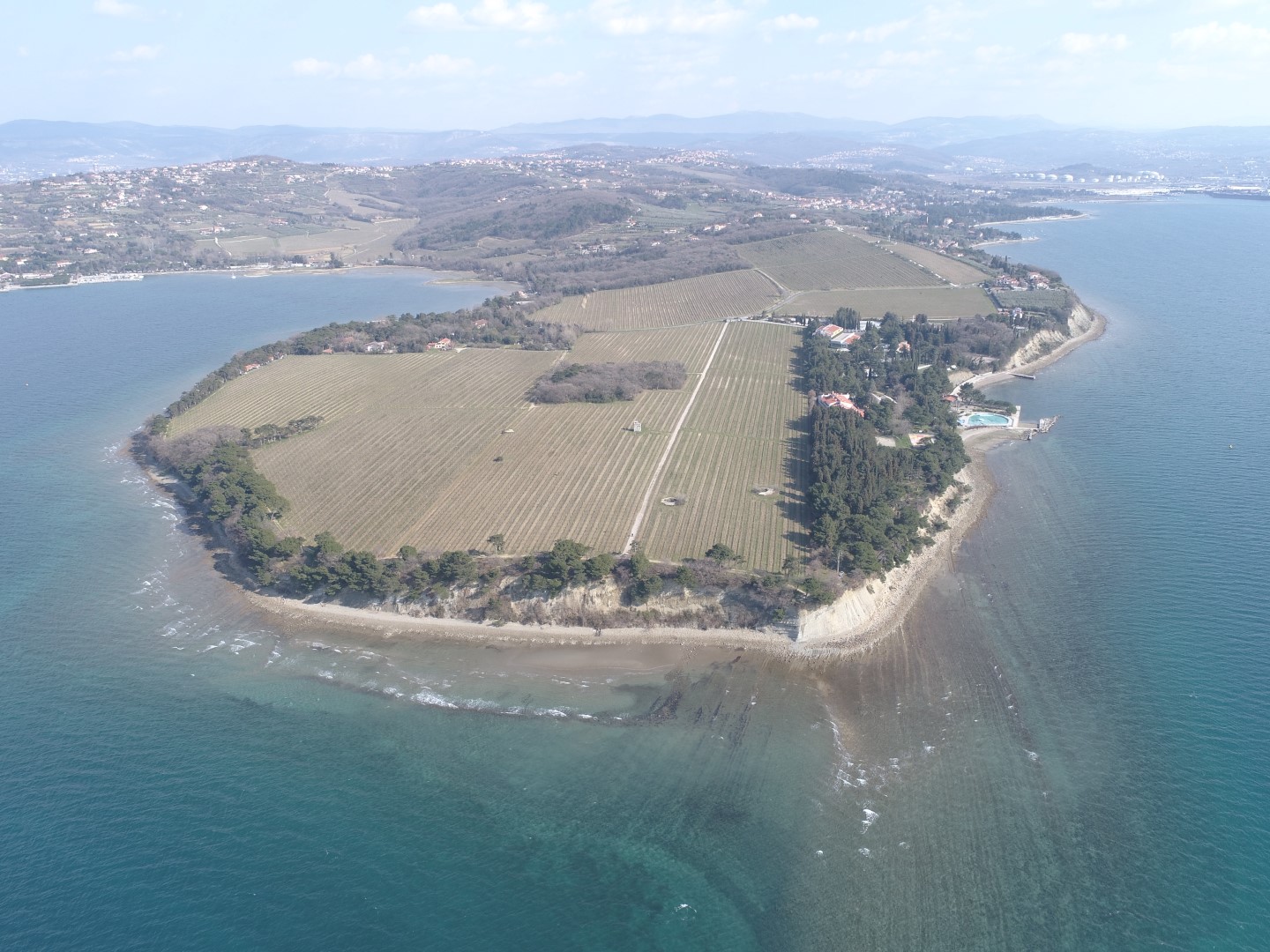
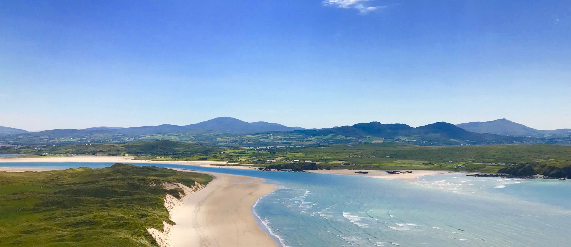
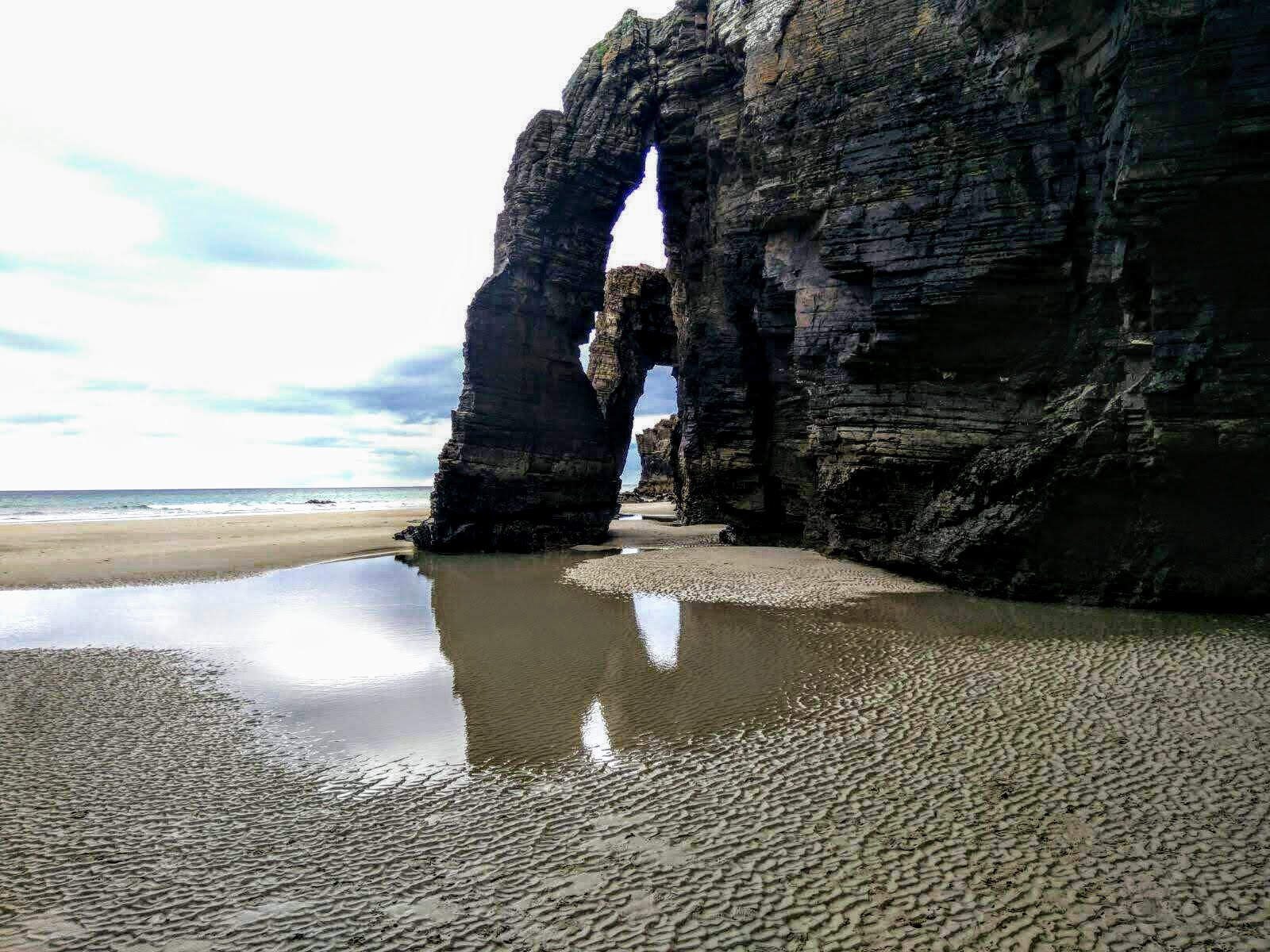
AREAS OF EXPERTISE

Coast and Sea

Main impacts:

  • To recognise the critical importance of coastal and marine geology for the sustainable development, management and protection of coastal areas and the seabed
  • To optimise deployment of offshore wind farms and associated infrastructure

Objectives and Tasks

The primary objective is to enable governments, regional and local authorities, industry, cultural heritage organisations and the marine research community to make informed decisions about the sustainable development, management and protection of coastal areas and the seabed. Coastal areas are sensitive zones that require careful management due to increasing pressures from urbanisation, climate change (sea level rise) and extreme weather events. A detailed understanding of the current geological processes on the seabed and its subsurface geology is crucial for all stages of the planning process and subsequent site investigation for the development of offshore wind farms and associated infrastructure.

During the project, experts will demonstrate how coastal vulnerability assessment and adaptation to climate change can be supported by geological and hydrogeological information in combination with EMODNET (European Marine Observation and Data network), Copernicus services and space geodesy. Coastal vulnerability assessment requires an interdisciplinary approach that considers the central role of geomorphology and surface geology in coastal evolution and associated risks.

The task, which relates to offshore wind farms siting, will establish and promote best practices for suitability and impact assessment in targeted field studies before, during and after wind farm development, based on the inventory and mapping of surface and subsurface characteristics (sub-seabed stratigraphy, anomalies) affecting the cost, stability and performance of turbines, cables and hubs in shallow and deep waters.

A service and business case will be developed by strengthening the collective position of the EU geological surveys as a central service for subsurface-related marine geological information, linking to existing long-term EU and global programmes, infrastructures (including EMODNET) and directives (e.g. Floods Directive, Marine Strategy Framework Directive) and establishing a roadmap for data services and data management.

By linking data, information and knowledge, seamless onshore-offshore maps/models/modules will be developed to support informed decisions on coastal zone management and protection, offshore wind energy installations risk mitigation, and management of the link between offshore wind energy installations and coastal zones.

Event
Aug 25–31
August 25 – 31, 2024Busan, Republic of Korea
MORE

Deliverables

  • A report on geological and hydrogeological parameters required for coastal vulnerability assessment
  • A pan-European catalogue of key parameters for offshore windfarm siting
  • A report on the positioning of geological survey organisations on subsurface marine geological information
  • EGDI multifunctional 2D/3D decision support module for vulnerability classification (onshore-offshore)